|
|
|
Home | Forums |
Downloads | Gallery |
News & Articles | Resources |
Jobs | FAQ |
| Join |
Welcome !
|
7 Users Online (5 Members):
Show Users Online
- Most ever was 626 - Mon, Jan 12, 2015 at 2:00:17 PM |
Forums
|
Forums >> Revit Building >> Technical Support >> Modeling Cities
|
|
|
active
Joined: Fri, Sep 23, 2011
2 Posts
No Rating |
Hey guys! I am currently working on a scale model of a new building we are designing in Detroit and we need to incorporate buildings and the city block design into our model. Is it possible to scan this from Google Earth into Revit or another program so that we can print out the city block in scale to help build our model? Let me know if you have any suggestions!
|
This user is offline |
|
 | |
|
|
site moderator|||
Joined: Tue, May 16, 2006
13079 Posts
 |
I think you can build your model then place it in Google Earth.
|
This user is offline |
|
|
|
active
Joined: Fri, Sep 23, 2011
2 Posts
No Rating |
We aren't building a model for Google Earth. We are designing a project bid and need the block design from Google Earth or a smiliar program to build a scale model for our presentation.
|
This user is offline |
|
|
|
active

Joined: Fri, Jun 17, 2011
220 Posts
 |
I work alot with buildings in Google Earth. You can't just upload a city block from google earth, you'd have to individually download each building from the 3D warehouse and then import them into your Revit model but I doubt it would keep the face imagry. If you want to keep in it within Revit, I'd recommend modelling them each yourself but just leave them generic. Try to recreate what they do in this video for Vasari... http://labs.autodesk.com/utilities/vasari/
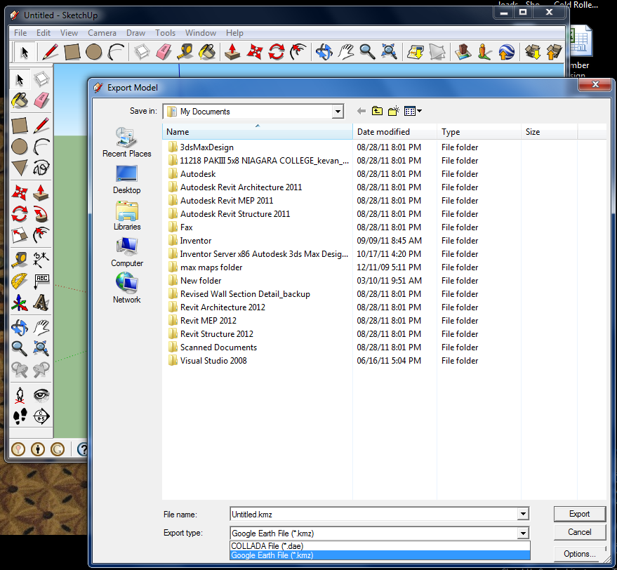
If it were me, I'd would just export your model into sketchup and then export it to a Google Earth .kmz file for presentation purposes. This doesn't make it a permanent part of the Google Earth buildings layers, its just on your local.
|
This user is offline |
|
|
|
Similar Threads |
|
Manage place and location / City? Longitude? |
Revit Building >> Technical Support
|
Wed, Oct 31, 2007 at 7:57:51 PM
|
0
|
|
Modeling a family outside of Revit |
Revit Building >> Technical Support
|
Mon, Dec 19, 2005 at 11:39:34 PM
|
3
|
|
Show phases of modeling |
Revit Systems >> Technical Support
|
Tue, May 9, 2017 at 4:13:36 PM
|
1
|
|
how to modeling this project? |
Revit Building >> Technical Support
|
Sat, May 17, 2014 at 3:20:39 AM
|
1
|
|
Revit modeling services provided [ 1 2 ] |
Community >> The Studio
|
Sat, Jun 27, 2009 at 3:13:55 AM
|
16
|
|
|
Site Stats
Members: | 2161655 | Objects: | 23325 | Forum Posts: | 152479 | Job Listings: | 3 |
|