|
|
|
Home | Forums |
Downloads | Gallery |
News & Articles | Resources |
Jobs | FAQ |
| Join |
Welcome !
|
4 Users Online (2 Members):
Show Users Online
- Most ever was 626 - Mon, Jan 12, 2015 at 2:00:17 PM |
Forums
|
Forums >> Revit Structure >> Technical Support >> topo survey AutoCAD to Revit
|
|
|
active
Joined: Mon, Jun 2, 2008
56 Posts
No Rating |
I have a 2d AutoCAD topo survey drawing that I wish to turn into a 3d Revit Topograph survey. What is the esiest and quickest way of doing this, I know revit could select it by imported layers but as its 2d this doesnt work! any help would be app ASAP as I need to show the bosses how it can be used! Cheers Allan
|
This user is offline |
|
 | |
|
|
site moderator|||

Joined: Tue, May 22, 2007
5921 Posts
 |
Do you have the "Contour Lines" in 3D??? Points in 3D???
-----------------------------------
I Hope and I Wish to LEARN more, and more, and more.... REVIT |
This user is offline |
|
|
|
active
Joined: Mon, Jun 2, 2008
56 Posts
No Rating |
no its all in 2d....... completely flat!!!! lol
|
This user is offline |
|
|
|
site moderator|||
Joined: Tue, May 22, 2007
5921 Posts
|
"no its all in 2d....... completely flat!!!! lol" - Lol, and now??? are you waiting for a miracle????
-----------------------------------
I Hope and I Wish to LEARN more, and more, and more.... REVIT |
This user is offline |
|
|
|
active
Joined: Tue, Apr 24, 2007
104 Posts
 |
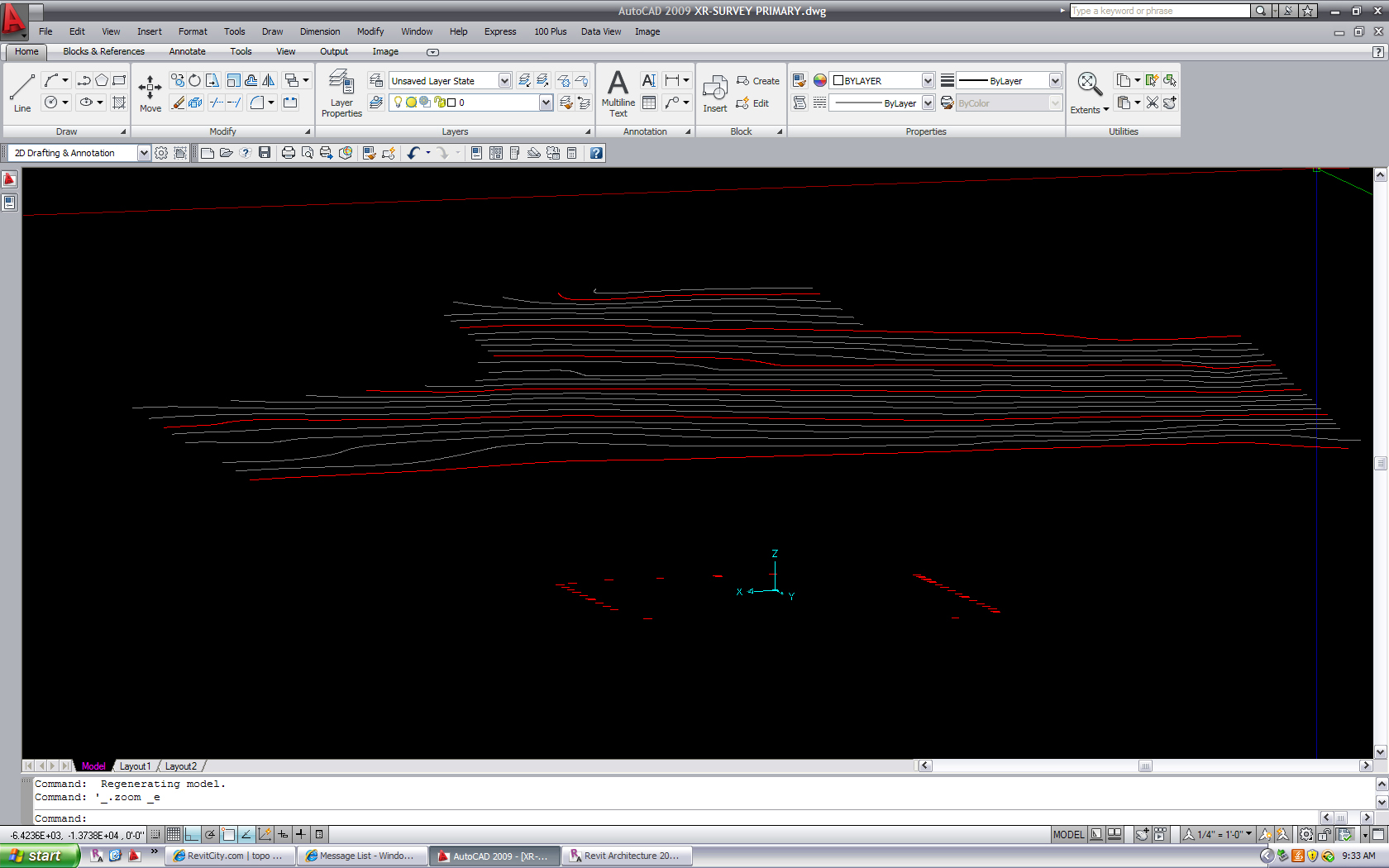
if you open your 2d in Auto CAD change the elevation for all the countor lines then re-insert. Once in revit, go to "TOPOSURFACE" TO CREAT IT, INSTEAD OF USING "POINT" USE THE "USE IMPORTED" THEN "IMPORT INSTANCE" THEN SELECT YOUR CAD FILE THEN A "ADD POINTS FROM SELECTED LAYERS" WINDOW WILL OPEN THERE SELECT THE AUTO CAD LAYERS YOU WANT TO USE FOR YOUR TOPO THAT SHOULD DO THE WORK, BUT DON'T FORGET TO "CHANGE THE Z VALUE IN AUTO CAD FOR IT TO WORK" SEE ATTACH IMAGE
|
This user is offline |
|
|
|
Similar Threads |
|
autoCAD Survey Plans to 3D Topo |
Revit Building >> Technical Support
|
Fri, Aug 1, 2008 at 4:12:58 AM
|
3
|
|
Topo Surface from autocad into revit |
Community >> Newbies
|
Tue, Oct 13, 2009 at 10:37:25 PM
|
4
|
|
importing topos for a Site Plan |
Revit Building >> Technical Support
|
Sat, May 28, 2005 at 10:20:13 PM
|
2
|
|
Change of Infornation on a Call out Ref and Easting/Northings on a Topo survey |
Revit Building >> Technical Support
|
Thu, Feb 21, 2013 at 12:37:10 PM
|
3
|
|
Importing AutoCAD topo 3D lines |
Revit Building >> Technical Support
|
Wed, May 25, 2005 at 3:33:44 AM
|
1
|
|
|
Site Stats
Members: | 2161655 | Objects: | 23325 | Forum Posts: | 152479 | Job Listings: | 3 |
|